A WALK AROUND SUCHA BESKIDZKAPowiatsuski10 February 2022
A WALK AROUND SUCHA BESKIDZKA
The route mostly follows the course of the white and blue marked Municipal Historical Trail. Length of the route – approx. 8.5 km, Walking time: approx. 4 hrs (excluding visiting the exposition of the Sucha Beskidzka City Museum, for which additional 1-1.5 hrs should be spent). If we do not go up the Jasień Mountain or to the viewing platform above Garce, the tour will be shortened by approx. 4 km and we will save approx. 1.5 hrs.
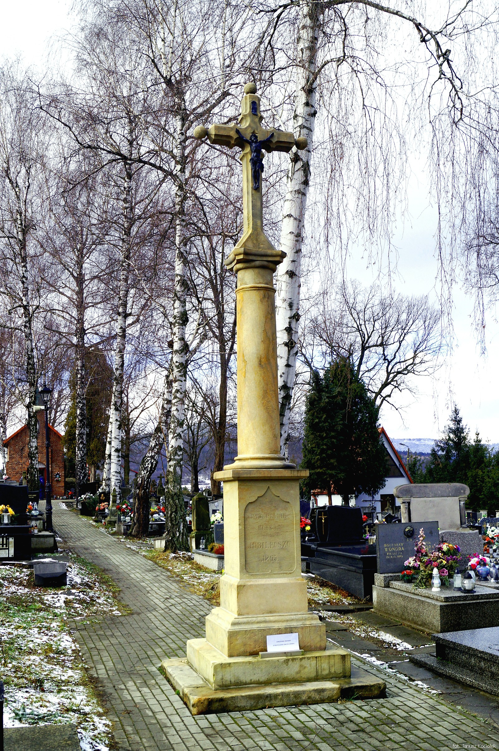
The walk starts in Mickiewicza Street, in front of the railway station building, erected at the beginning of the 1880s in the style characteristic for this type of buildings in the Austro-Hungarian monarchy. Suska station was an important railway junction on the route of the so-called Transversal Railway, running along the Carpathian Mountains and connecting Czadca (now in Slovakia) with Husiatyn near Lviv. Then the route heads south along Spółdzielców Street, initially following the red signs of the oldest Polish tourist route in the West Beskid Mountains, marked in 1906 from Sucha to Zawoja through Hugon Zapałowicz Street, and soon it leaves the asphalt, climbing up the slope called the ‘Cholerne’. Here, on the right, at the edge of the forest, is the former cholera cemetery, where victims of the typhus and cholera epidemics which struck Sucha in 1847-52 are buried. Here we turn left and walk along the border of meadows, and then cross a narrow strip of forest, coming out on Armii Krajowej Street, which leads us to the parish cemetery, where a lot of historic tombstones from the 19th and 20th centuries and cast iron crosses, forged, among others, in Suski’s ironworks, have been preserved.
From the cemetery, walk north along Kościelna Street towards the nearby church and monastery complex.
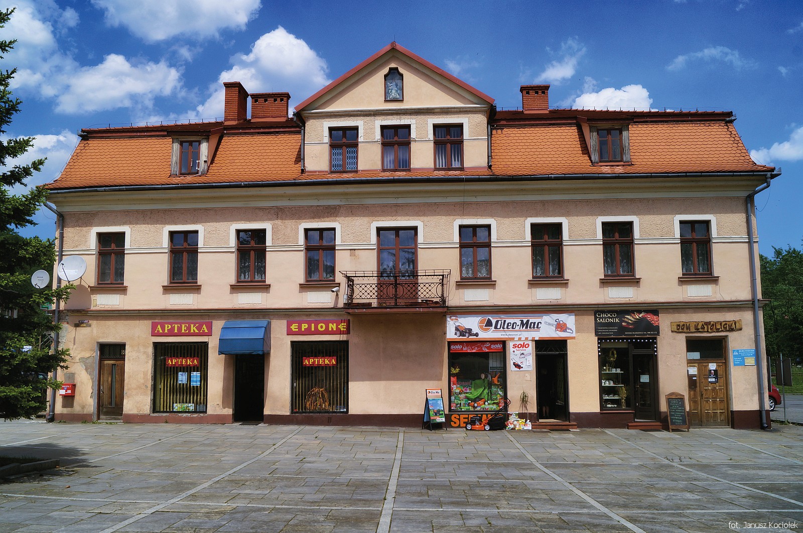
Continuing our walk along Kościelna Street we soon reach the market square of Suski, whose most valuable monument is the ‘Rzym’ inn. In the neighbourhood of the inn, there is a fountain designed in 2005 by Wiesław Kwak to commemorate the 600th anniversary of the settlement, and a bit lower, under the pole with signposts, a stylized film tape is cut into the surface of the market square, commemorating Billy Wilder (1906-2002), an outstanding director born in Sucha, the winner of several Oscars (the towns on the signposts are the places where B. Wilder lived after leaving Sucha).
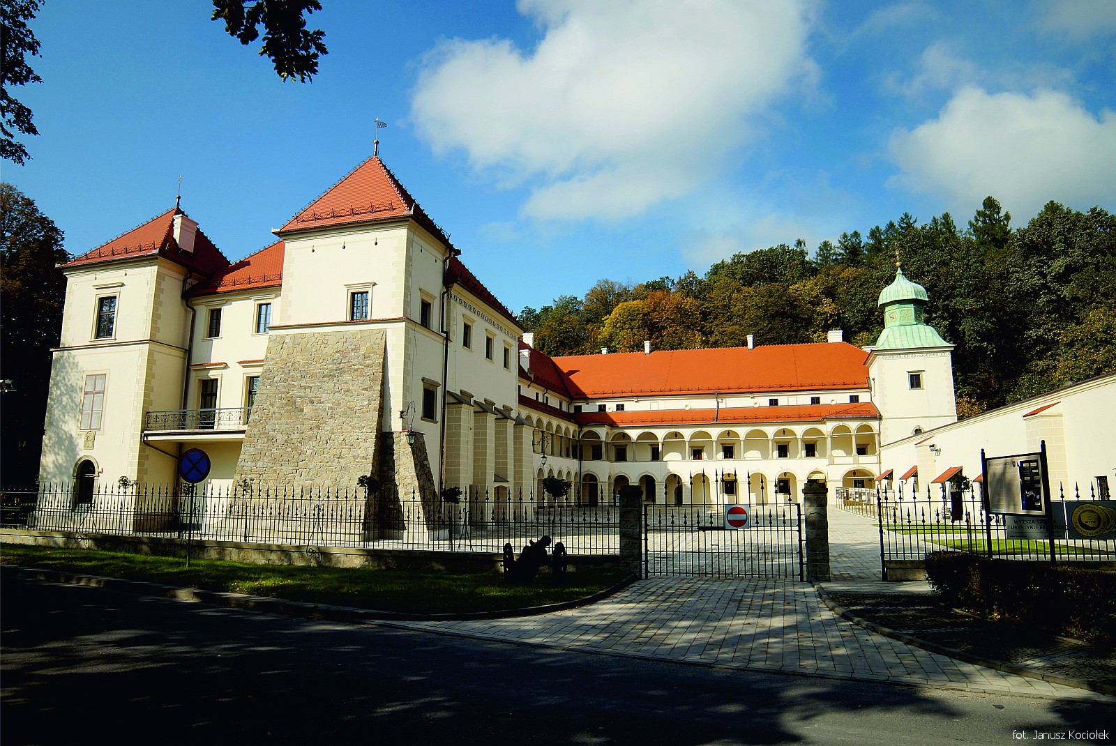
From the market square we set off northwards along Zamkowa Street, crossing twice the railway tracks of the Krakow – Zakopane railway line and the bridge over the Stryszawka river between them, and we enter the castle-park complex.
If we have more free time, it is worth taking a walk along a forest path to the Jasień Mountain rising above the castle complex, where there is a chapel erected to commemorate the battles which took place in the area of Jasień and Sucha during the Bar Confederation (1768-1772).
Go back along Zamkowa Street towards the market. On the left, on the slope of Mioduszyna, we will see a characteristic cross and a viewing platform. You can reach it in approx. 25 mins following the blue PTTK tourist trail signs, going left just before the bridge over the Stryszawka river, along the market square.
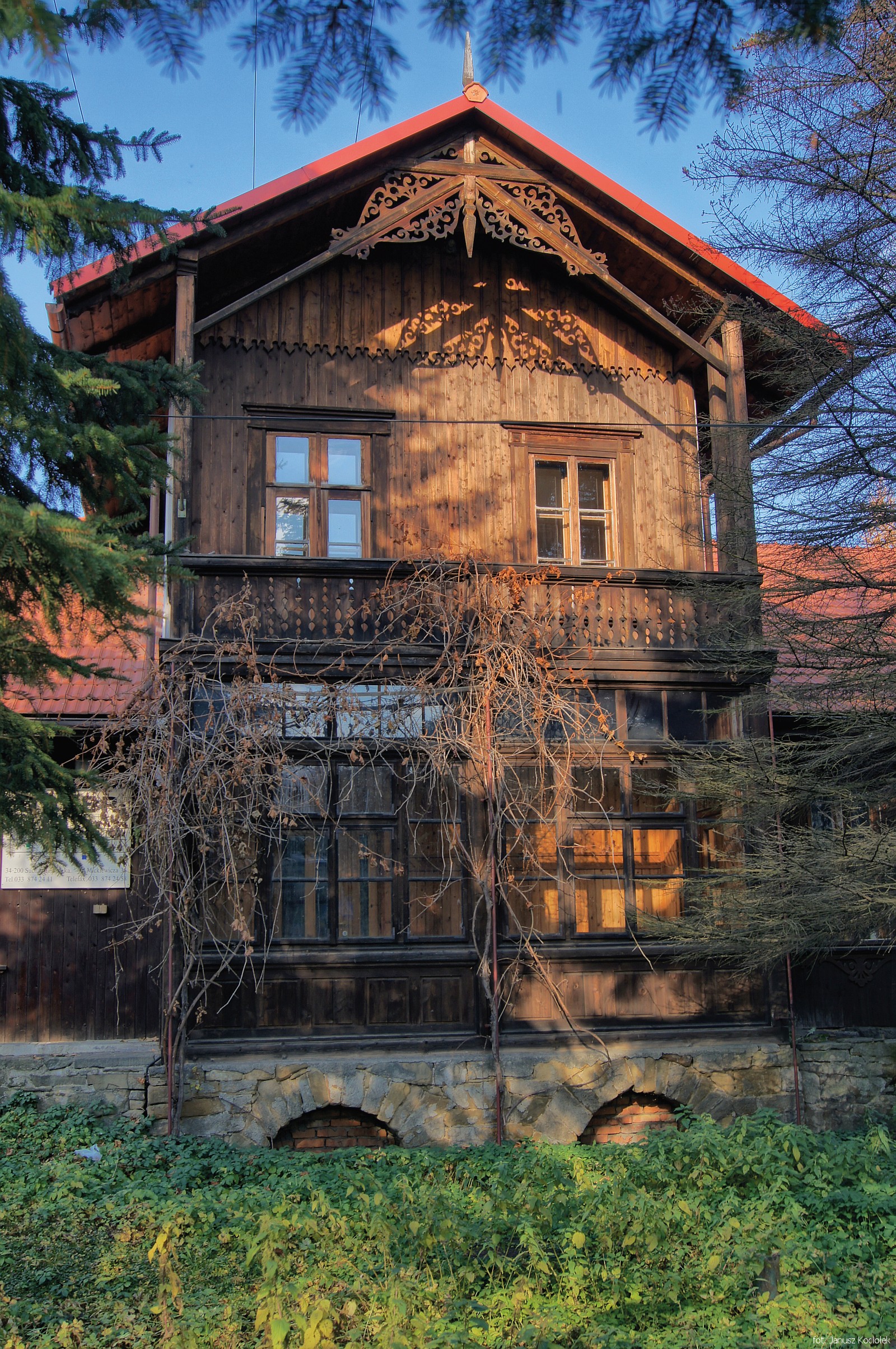
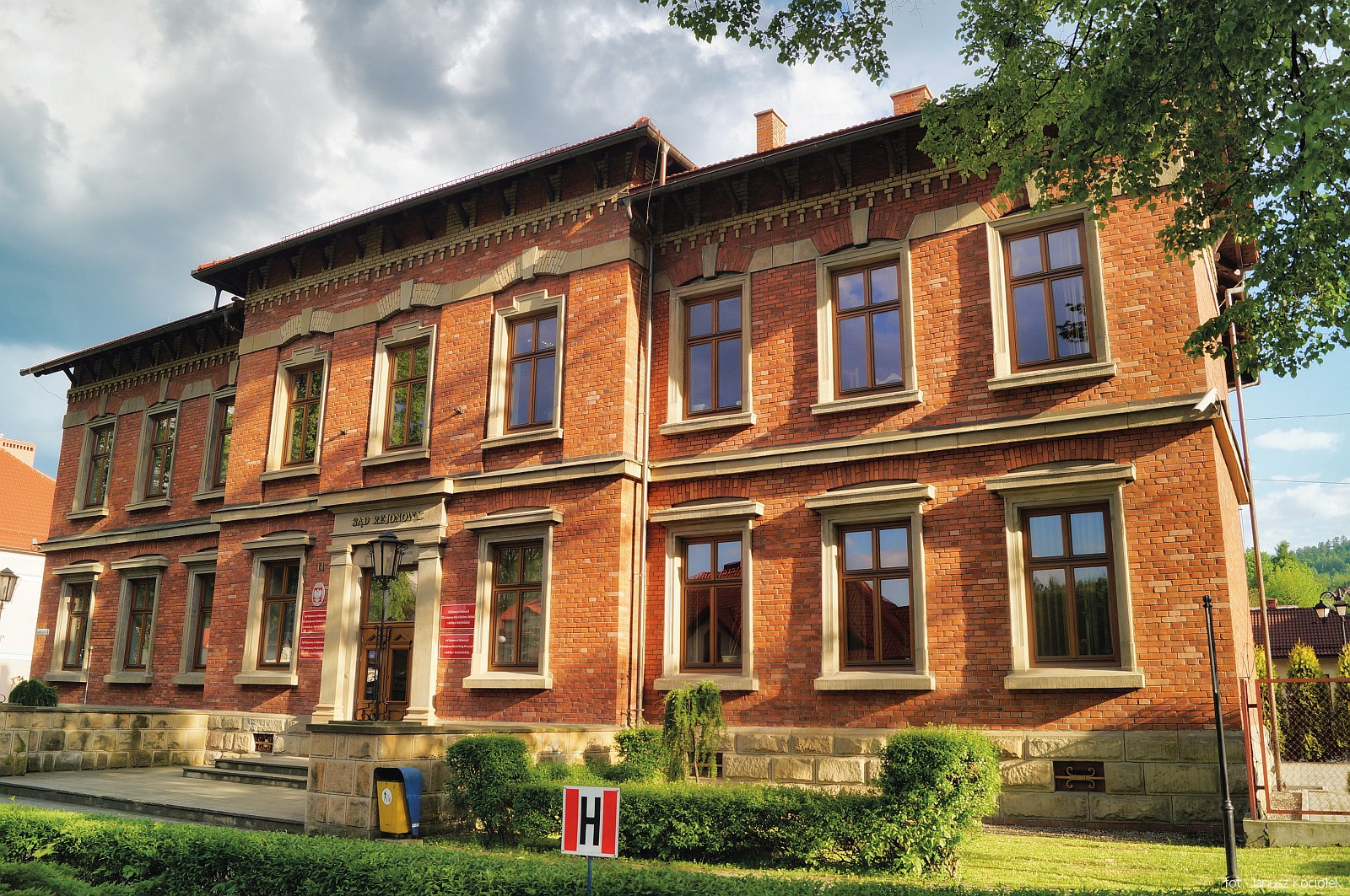
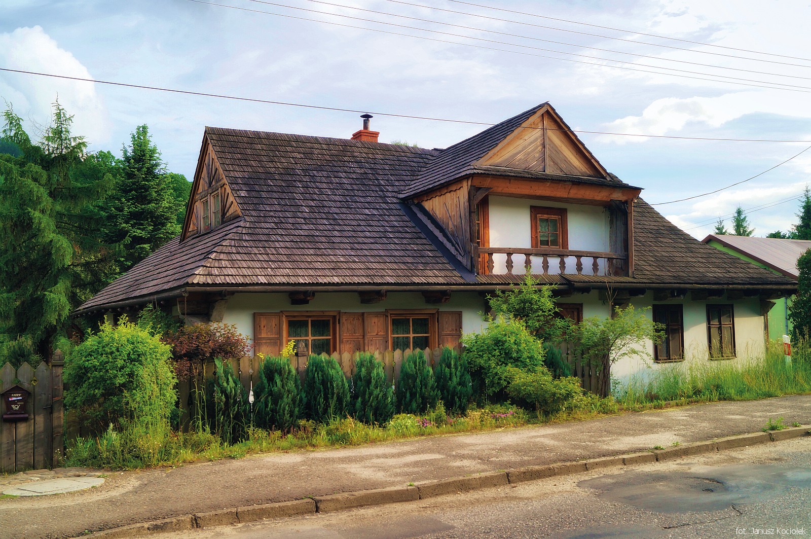
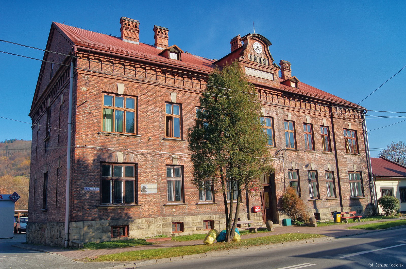
From the market place we head west along Mickiewicza Street, passing interesting buildings: on the left a brick building of the former County Courtand Tax Office erected in 1905, and on the right – the former seat of the Suski Steelworks Manager (a 19th century brick building in the form of an urban villa) and three wooden manor villas (Mickiewicza Street No. 40,38,36) built at the turn of the 3rd and 4th quarters of the 19th century, destined for officials of the Suski Estate.
Walking further along Mickiewicza Street, we will reach the railway station, where we close the walking loop.