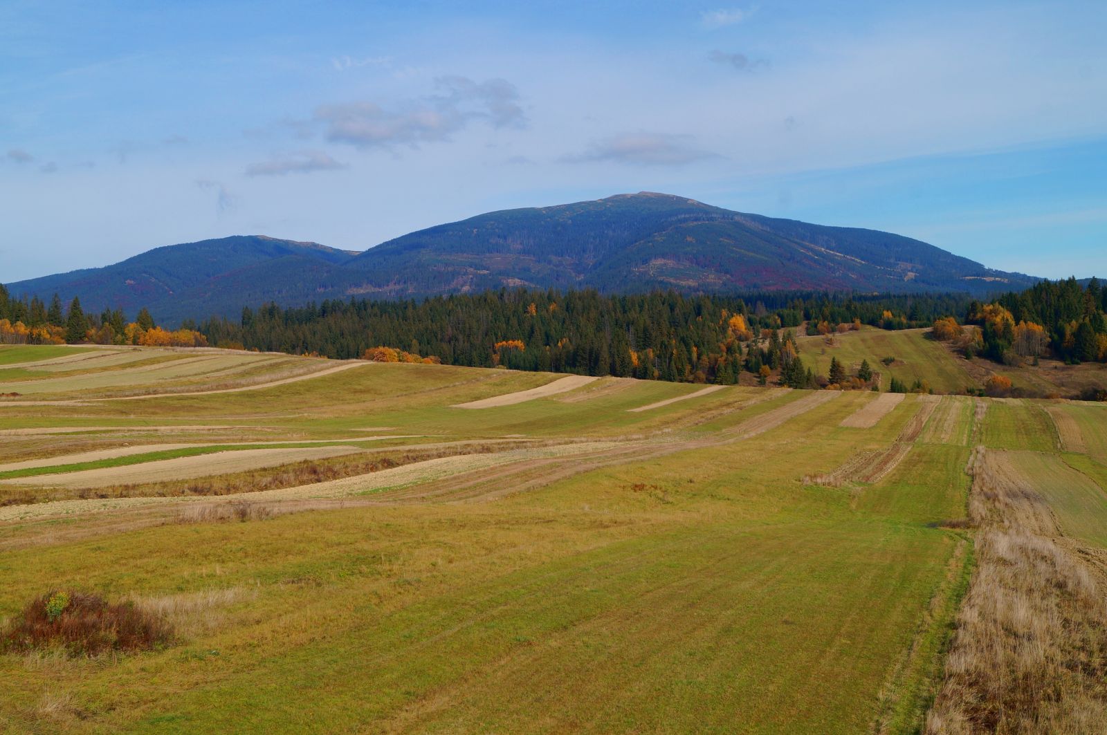
The biggest attraction of the Podbabiogórze, common for the Polish and Slovak part of this border region, is Babia Góra – the highest peak of the Western Beskid Mountains (1725 m above sea level). Its ridge runs along the state border and the European watershed (the drainage basin of the Baltic Sea and the Black Sea). Both on the Polish side (Babia Góra National Park) and on the Slovakian side ( Horná Orava Landscape Park) it is under natural protection.
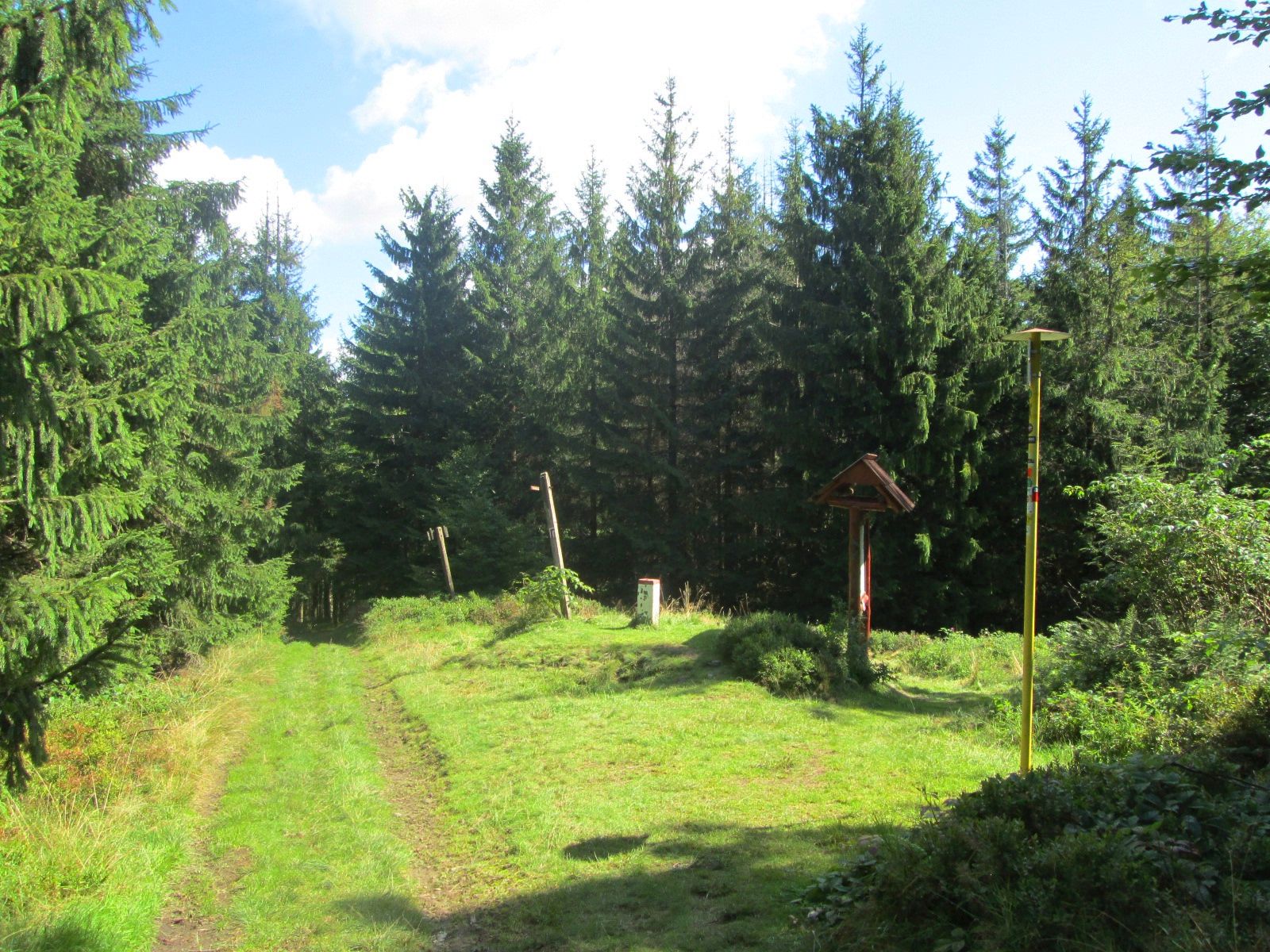
The point is located on the Polish-Slovakian border, below the peak of Mędralowa (1169 m above sea level). There are yellow trails leading from Oravská Polhora (SK) and from Zawoja (PL), and from the first of these there is also the so-called dudziarska tourist path.
GPS: 49°36'49.6"N 19°28'02.9"E 49.613770, 19.467474
The spring has been known and used since 1550. The mineral water has in its composition 50 g of salt and about 135 mg of iodine per 1 kg of water. The brine is among the most valuable healing waters in Slovakia and Europe.
GPS: 49°31'28.9"N 19°28'18.5"E 49.524702, 19.471809
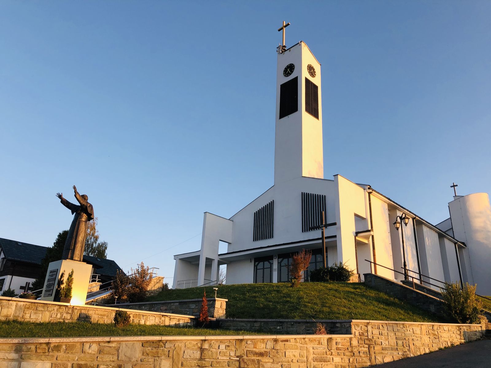
Sacral objects. The stone church was built in 1928. The parish church is a new building with modern architecture. Inside is a 5.2 m high sculpture of the Sacred Heart of Jesus. The square in front of the church is named after John Paul II, there is his statue.
GPS: 49°31'22.3"N 19°26'49.7"E 49.522856, 19.447149
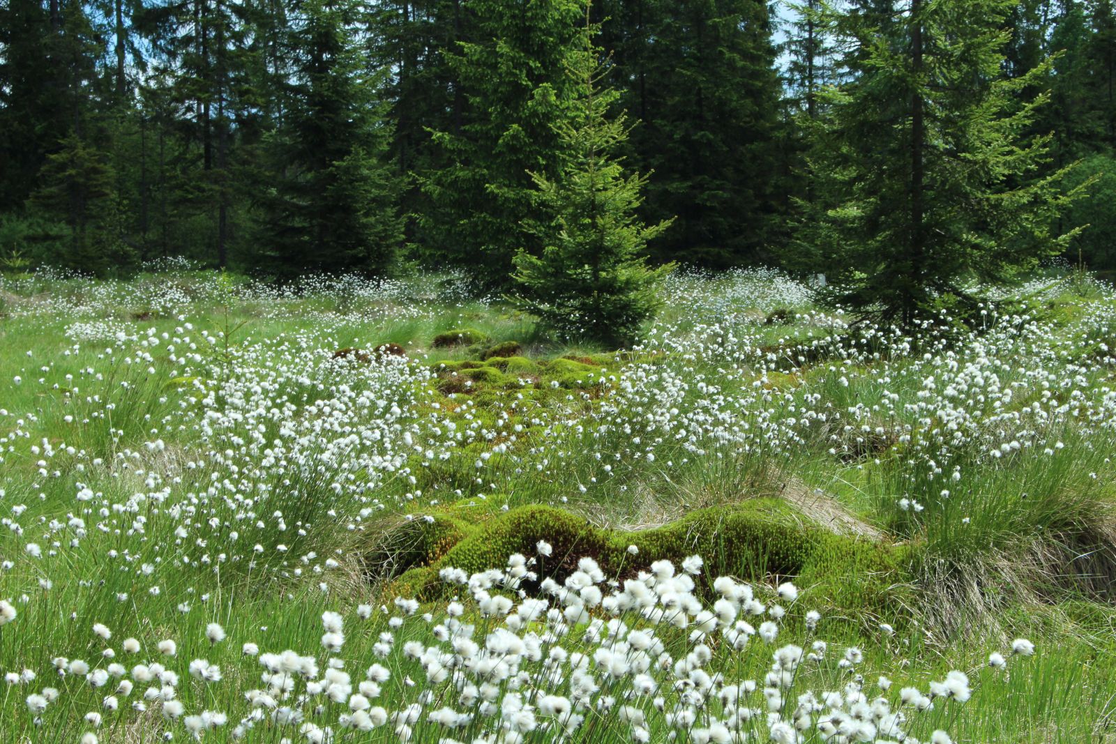
The peat bog is one of the best preserved in Slovakia. It has a high level of protection. It is situated at an altitude of 751-765 metres above sea level, in an area of 108 hectares. Thanks to a educational path, the peat bog is accessible to people of all ages.
GPS: 49°31'41.7"N 19°28'28.7"E 49.528254, 19.474631
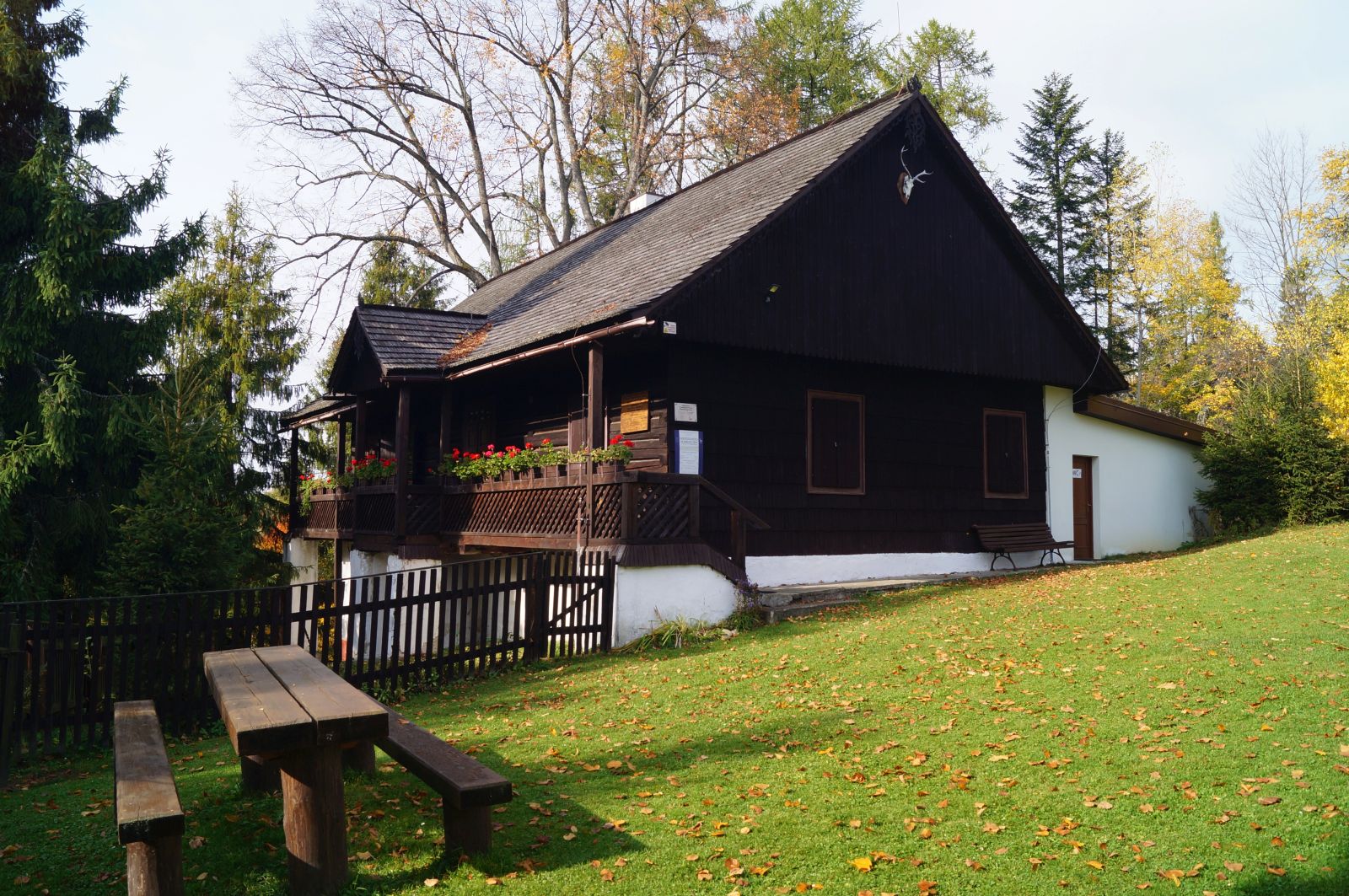
There is a museum in the forester's house with a permanent thematic exhibition on the work ‘Hájnikova žena’ by the poet and playwright Hviezdoslav (Pavol Országh) and his life, and an exposition dedicated to Milo Urban, one of the most prominent representatives of contemporary Slovak literature, who came from this area.
https://www.oravskemuzeum.sk/expozicie/literarne-expozicie/hajovna
GPS: 49°32'28.2"N 19°30'02.3"E 49.541167, 19.500646
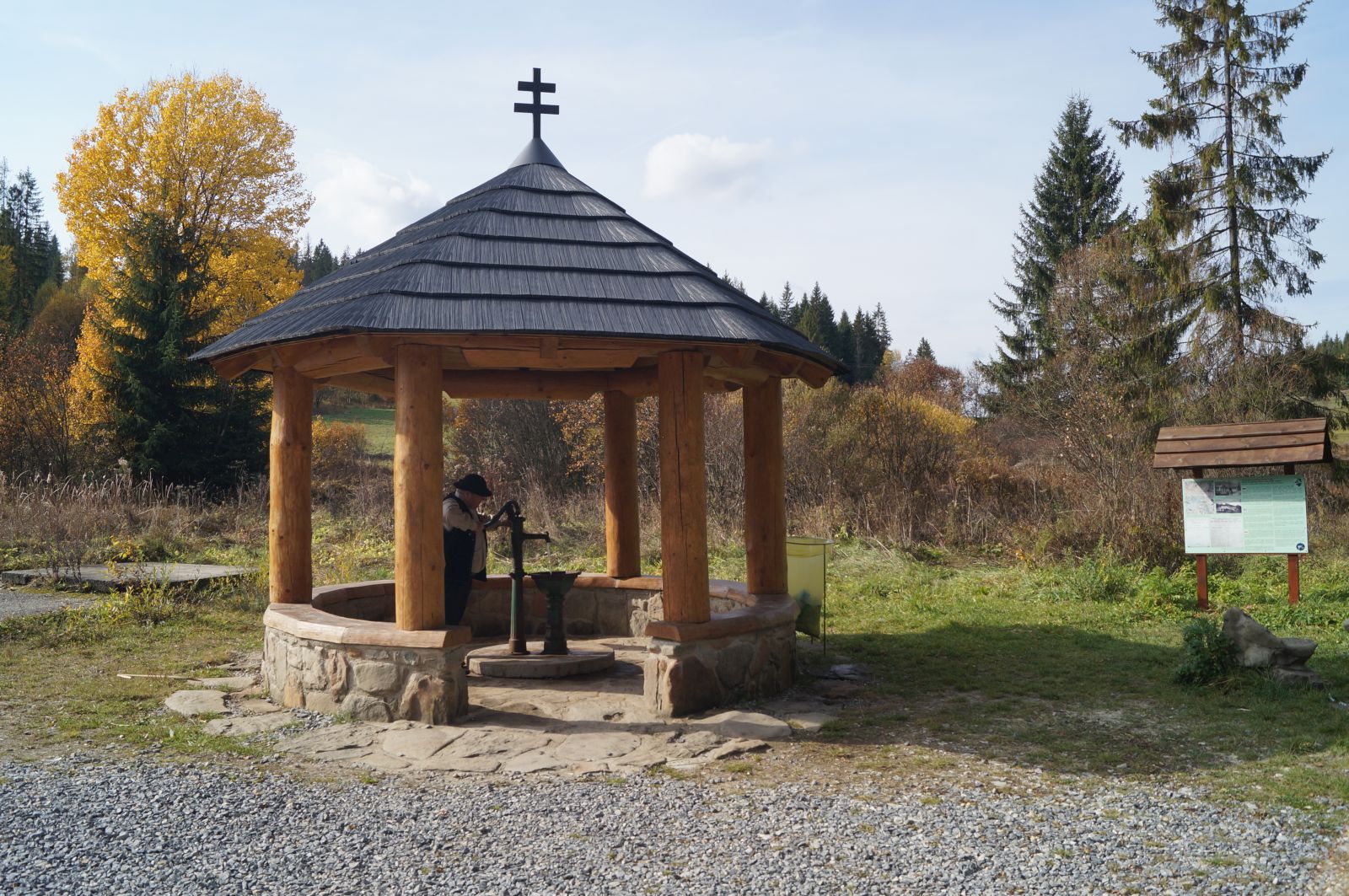
The brine graduation tower is situated in the centre of the village. It uses iodine-bromine water from the Slaná voda spring. This water drips down the branches of blackthorn trees and evaporates, which enables health inhalations.
GPS: 49°31'26.6"N 19°26'20.3"E 49.524047, 19.438960
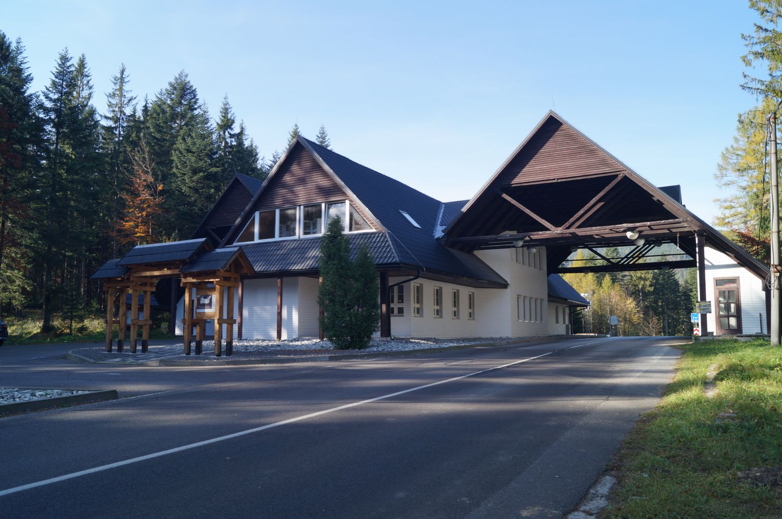
A newly established museum of shepherd traditions near Babia Góra. Its part is the Chamber of Bagpipers. The museum is located in the former customs house on the border crossing with Poland (Glinne Pass). There is also a tourist information office.
GPS: 49°32'41.8"N 19°22'09.0"E 49.544951, 19.369174
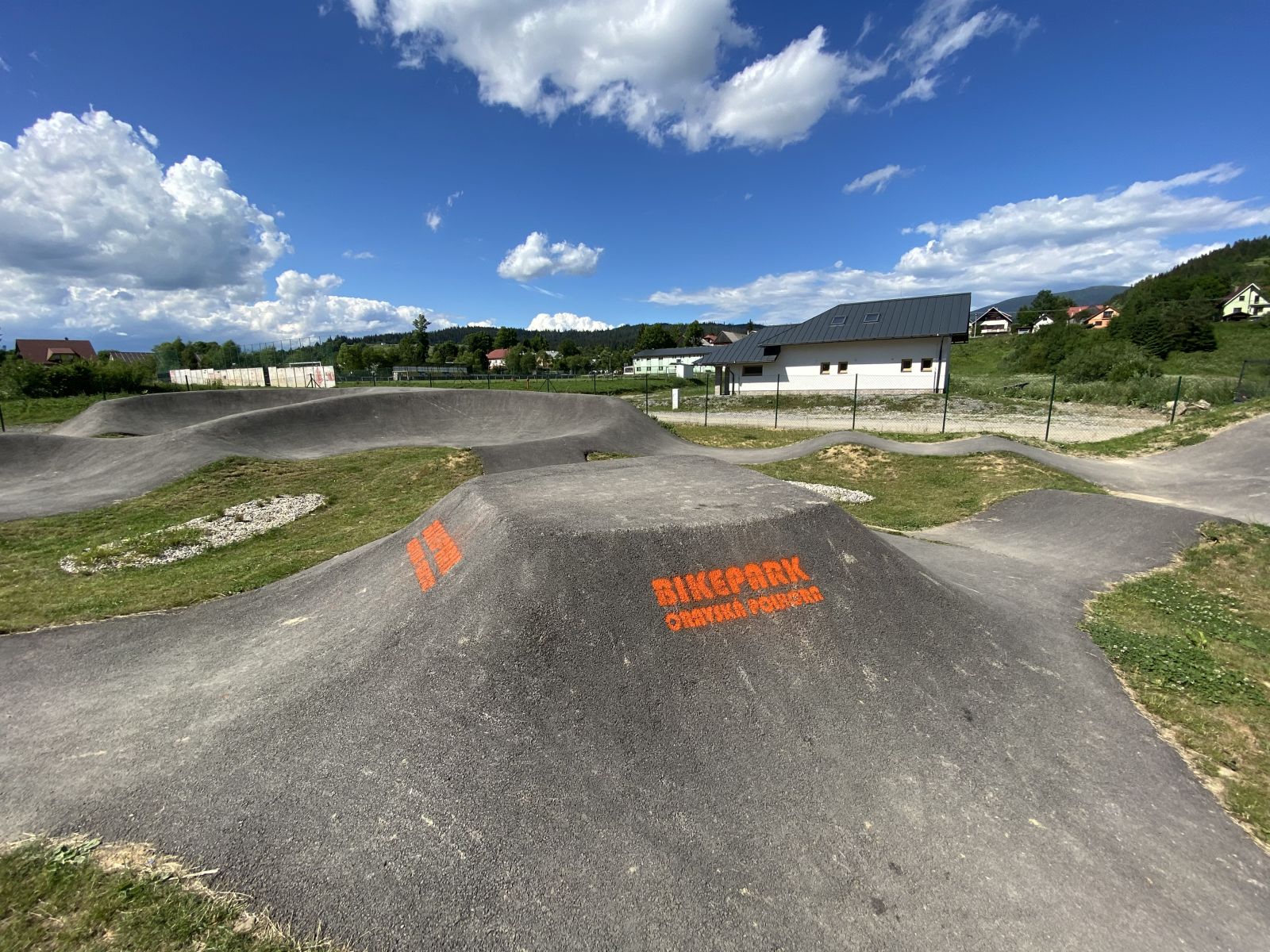
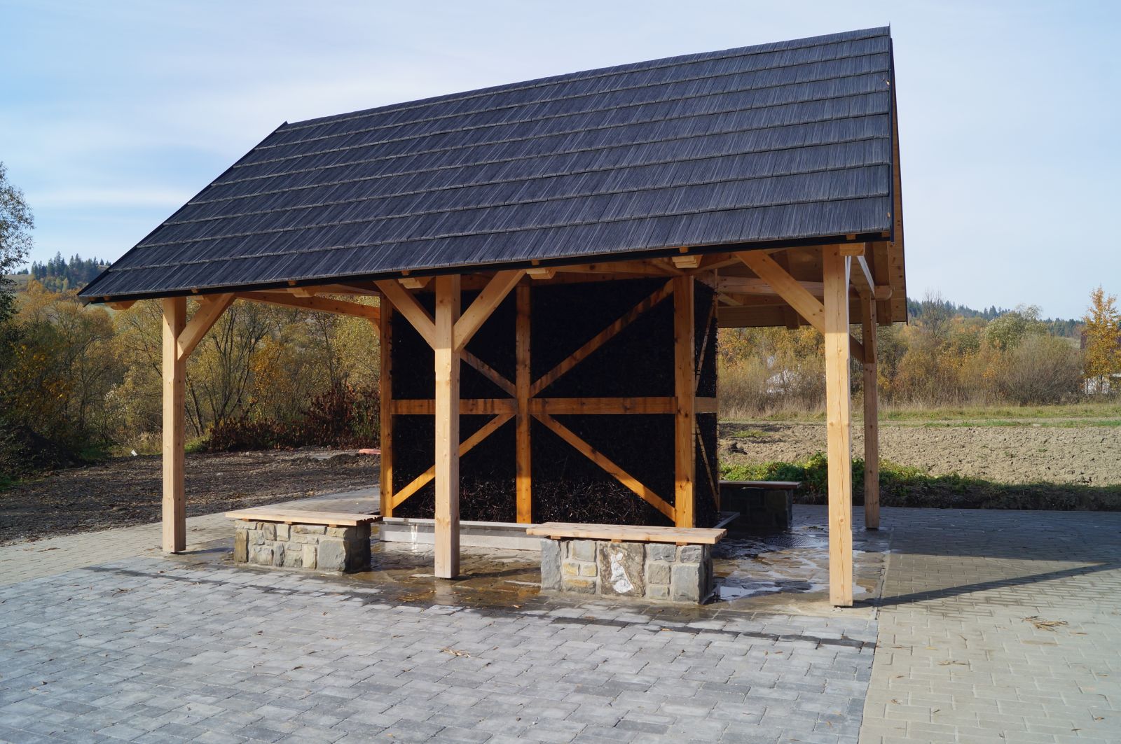
The Centre consists of a recreation and information area, a parking space and a training area, which is also accessible for the disabled. The centre is the starting point for the Babia Góra cycling routes (Babia Góra Trails).
https://www.babiahoratrails.sk
GPS: 49°31'27.7"N 19°26'24.1"E 49.524350, 19.440013
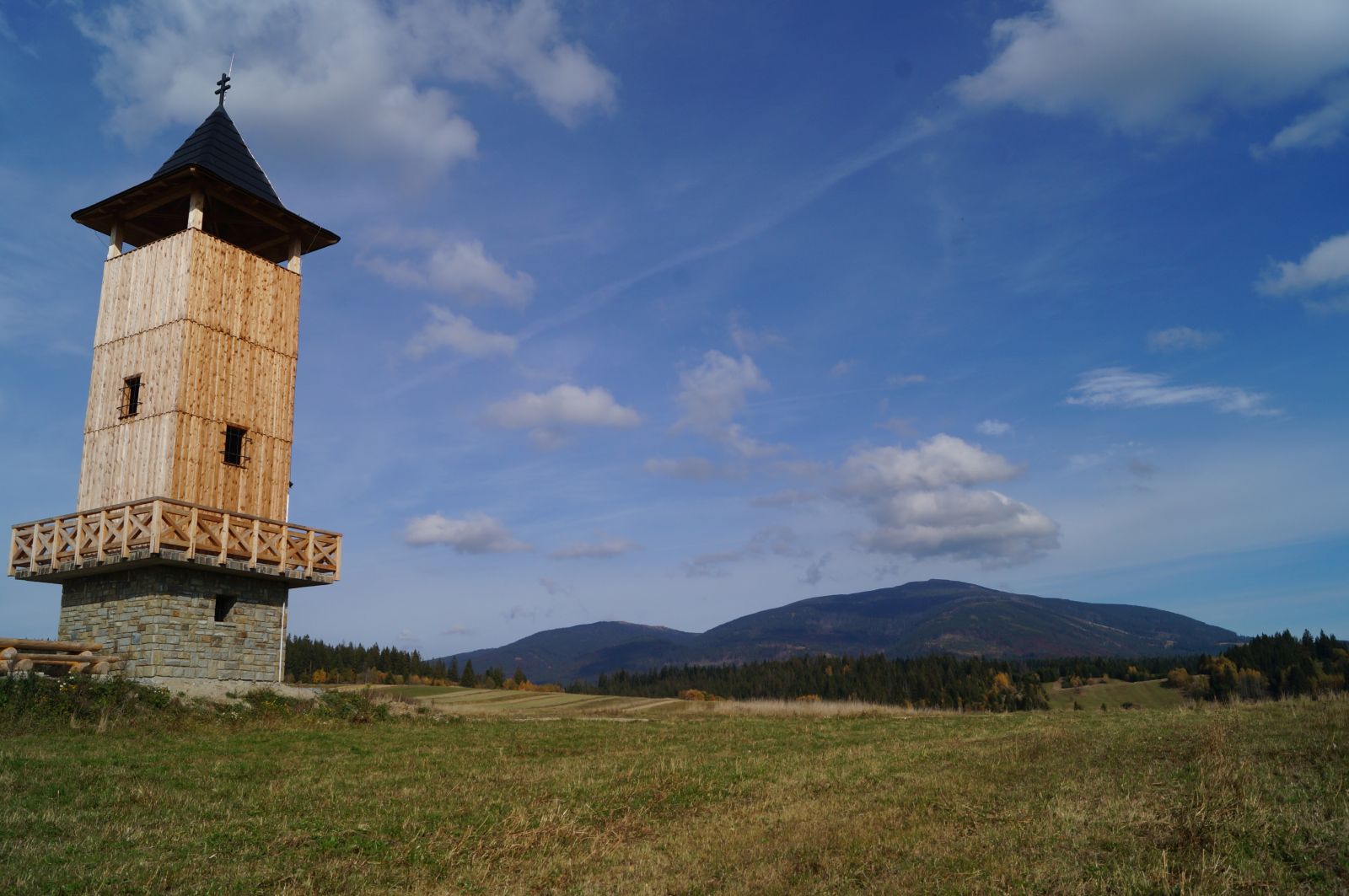
The observation tower is located on the road to Slaná Voda and is 16 metres high. From the tower it is possible to view the surrounding panorama of Babia Góra, Pilsko, Orava Lake, distant peaks of the Tatra Mountains, as well as nearby villages
GPS: 49°30'44.0"N 19°28'11.9"E 49.512221, 19.469983