Bieńkówka (approx. 495 m amsl) – Koskowa Góra (867 m amsl) – Maków Podhalański (approx. 355 m amsl)
Walking time: 4 hrs 15 mins
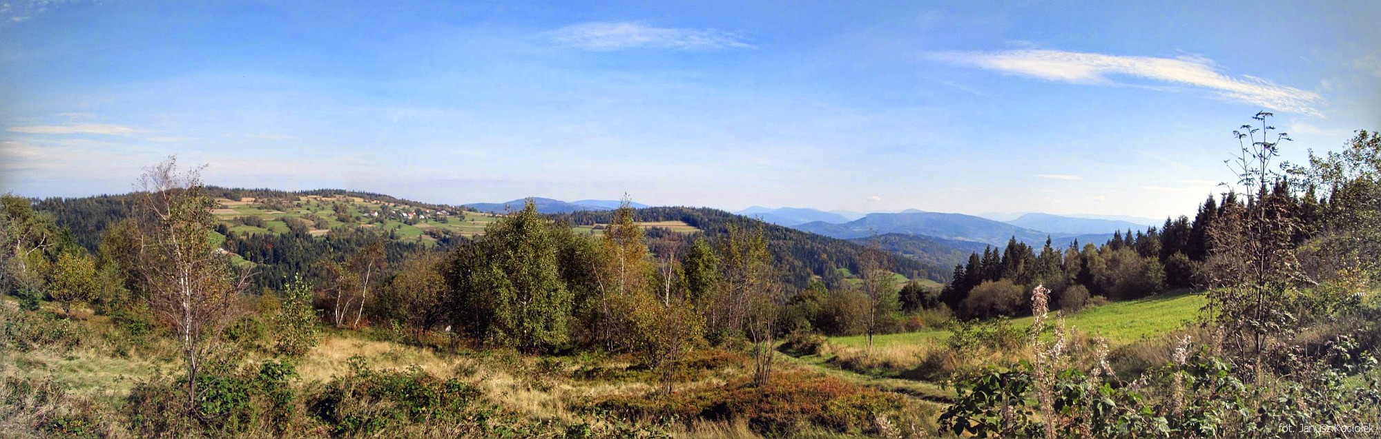
The route leads through quite rarely visited by tourists, but very picturesque areas of Maków Beskids. The trail is not difficult, accessible to every walker, and the view from Koskowa Góra is one of the most beautiful and most extensive in the whole Polish Beskid Mountains.
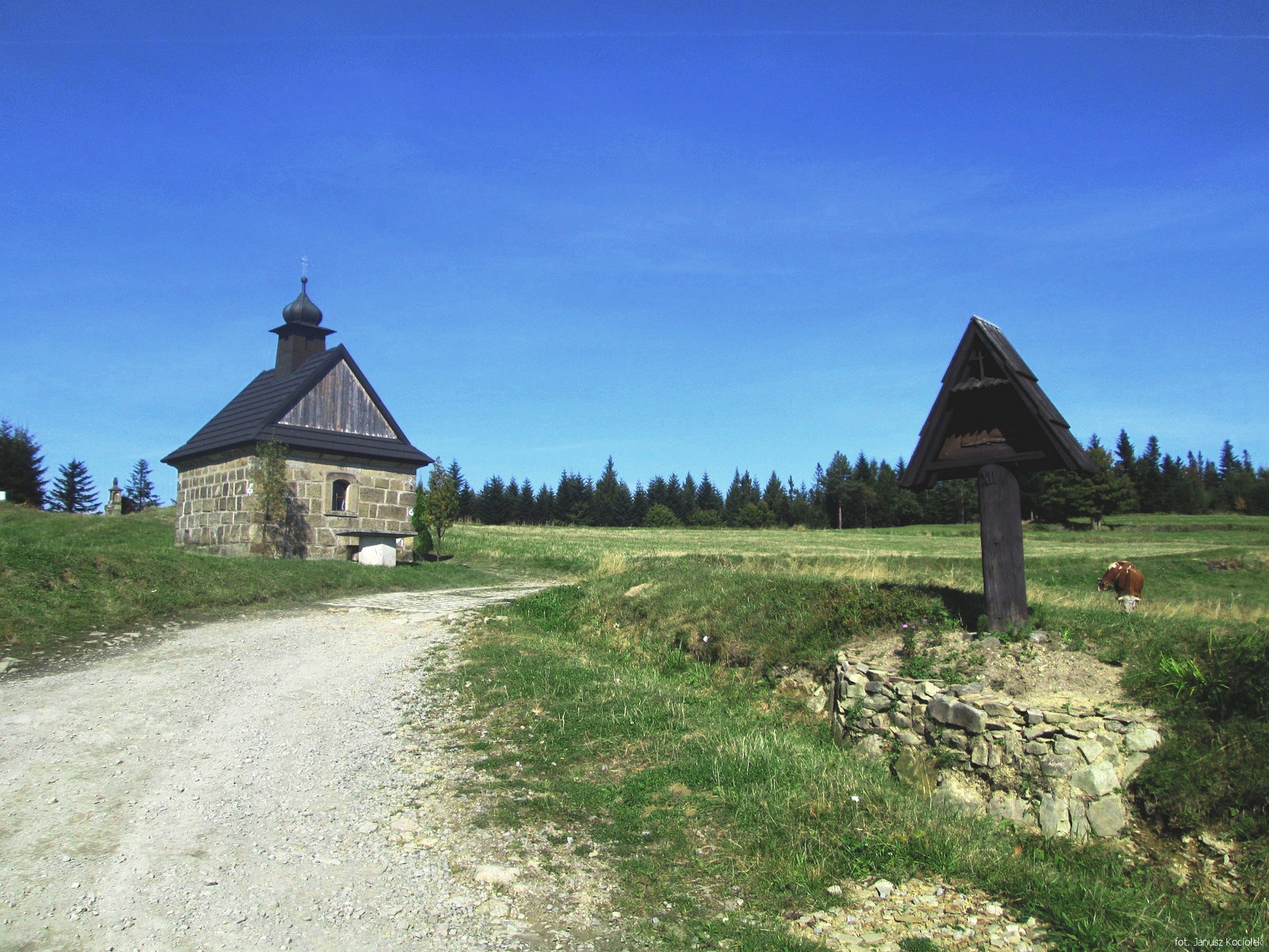
From the bus stop „Bieńkówka Celakówka” we go several dozen metres to the west, meeting blue signs running from the opposite direction. Following them, we cross the bridge over the Skorutówka stream and go out of the village. Go up through the forest, then through a strip of fields, after which we enter the forest again, where we wander for a longer time. Finally the trail leads us to an open area near the houses of the Łazy settlement belonging to Bogdanówka. Here, passing a stone cross and a plaque commemorating Jan Sałapatek „Orzeł” (1923-1955), born in nearby Jachówka, one of the best-known soldiers of the post-WWII independence underground, we reach the nearby chapel with the statue of Christ Falling under the Cross, from where there is a beautiful view of the Beskid Wyspowy and the Tatra Mountains on the horizon. Here the yellow tourist trail joins the blue one.
Following the signs of both trails we now head towards the close settlement of Koski and the peak of Koskowa Góra (with its characteristic mobile phone mast on top). At the first houses of the estate the trails diverge. We choose the right branch and, from now on, following only the yellow trail signs, we reach the exposed peak platform of the mountain Koskowa Góra.
As we go down from the peak, we pass the houses of the Majdówka housing estate, and then we traverse through the forest the southern slopes of the Przysłopski Wierch. A long hike along the ridge line awaits us now, mainly along forest roads and through several clearings. Finally, we go round the peak of Ostrysz from the south, pass through a not very clear culmination of Stańkowa and reach the junction of yellow and black trails. Here the route leaves the ridge and – still following the yellow trail signs – begins the descent to Maków Podhalański. At one of the crossroads the route passes the memorial place devoted to four partisans killed by Germans during the action which took place in nearby Żarnówka on 23 January 1945.
Slightly further, we cross a wild little valley of the creek flowing from under the nearby Bryndzówka, we cross a low ridge with an increasingly overgrown meadow and behind another strip of forest we come out onto an open area with a nice view of the mountainous surroundings of Maków Podhalański.
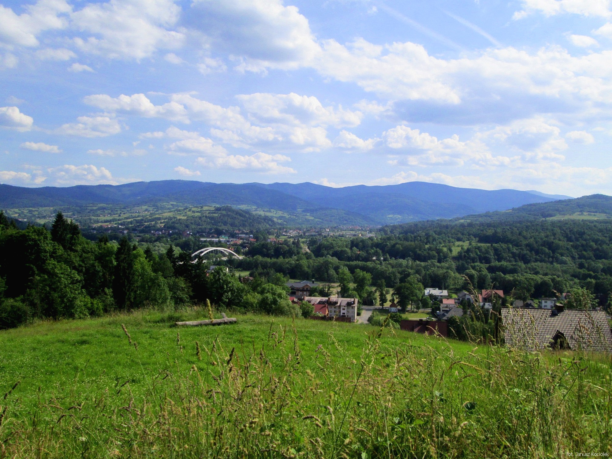
We reach the first houses of the town and then, following Widokowa, Moniuszki and Kasztanowa Streets, we reach 3. Maja Street – the main road running through the centre of Maków. From here it is not far to the railway station, where our trip ends.