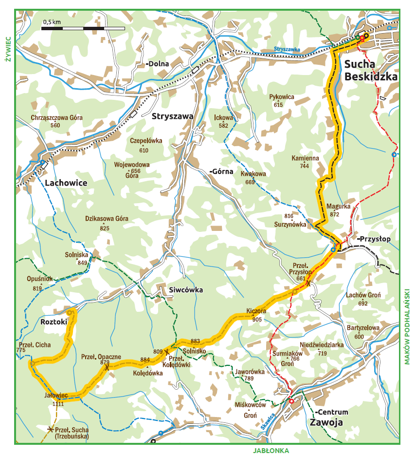
Stryszawa Roztoki (approx. 605 m amsl) – Jałowiec (1111 m amsl) – os. Przysłop (approx. 675 m amsl) – Sucha Beskidzka (approx. 3.45 m amsl)
Walking time: 6 hrs 15 mins
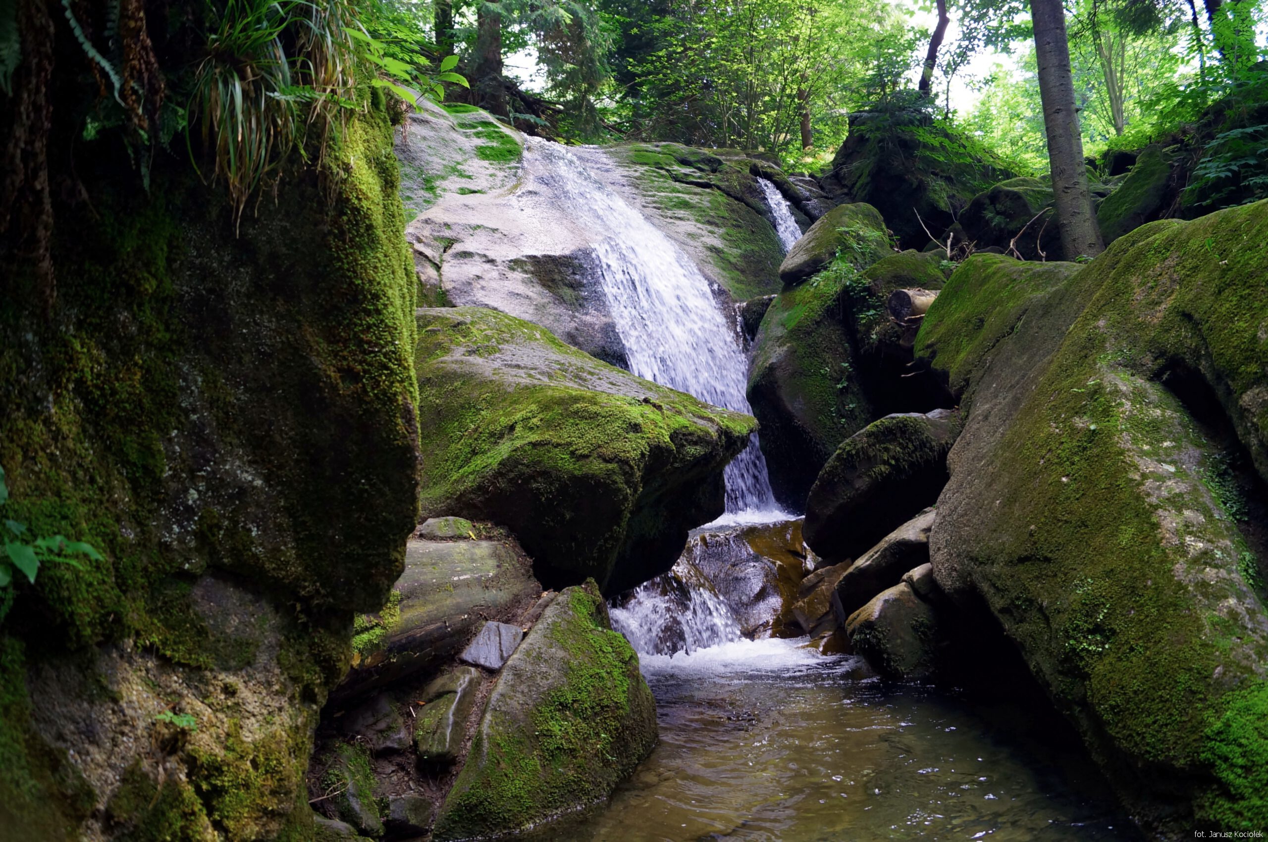
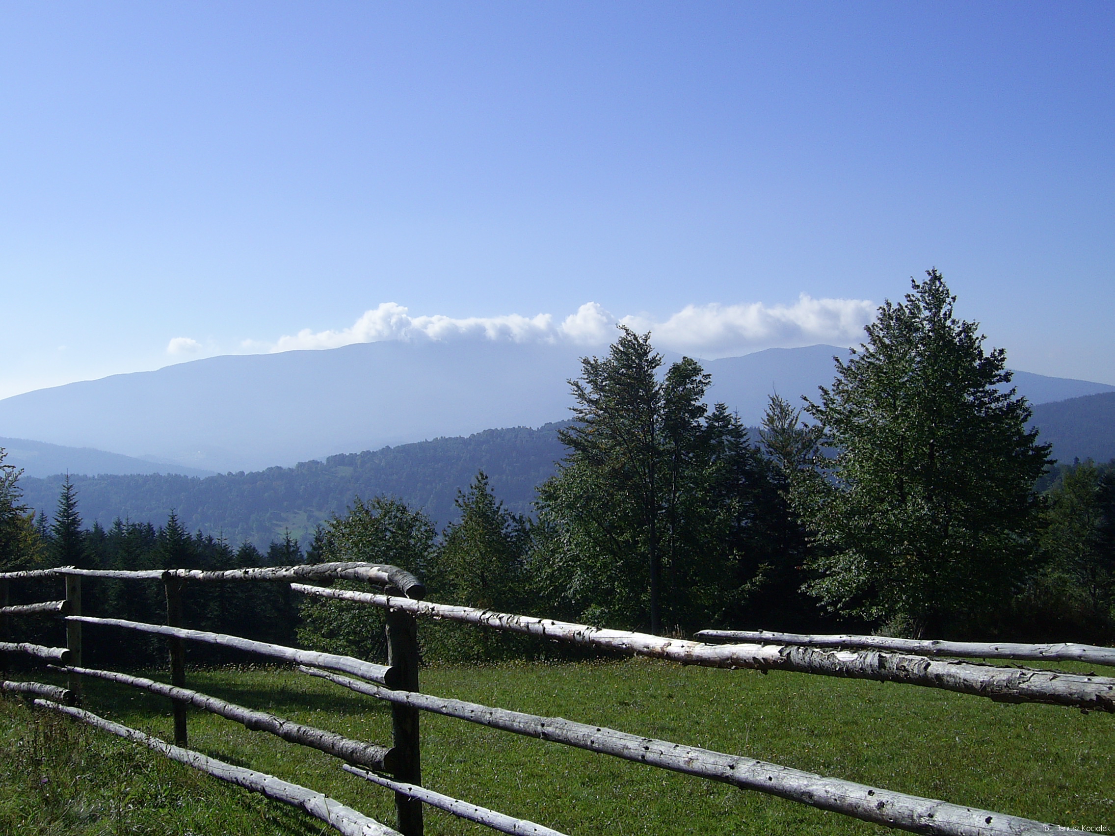
An all-day trip allowing to get to know almost the entire main ridge of the Jałowiec Chain. The peak of Jałowiec offers a stunning panorama of the Żywiec Beskid; further along the route, there is no shortage of scenic spots, especially on the massif of the „Queen of Beskid Mountains” – Babia Góra. During a long hike, we can take a rest in a private hostel below the Opaczne Pass or in a modern mountain hotel „Beskidzki Raj”. On the route we will also encounter natural curiosities – a waterfall on the Uporny brook and the trunk of the mighty spruce „Siłosław.
Near the final bus stop „Stryszawa Roztoki” we come across the beginning of the yellow trail, which leads us to the bridge on the Uporny brook, from where it is worth walking 50 m to see the cascade of a beautiful waterfall.

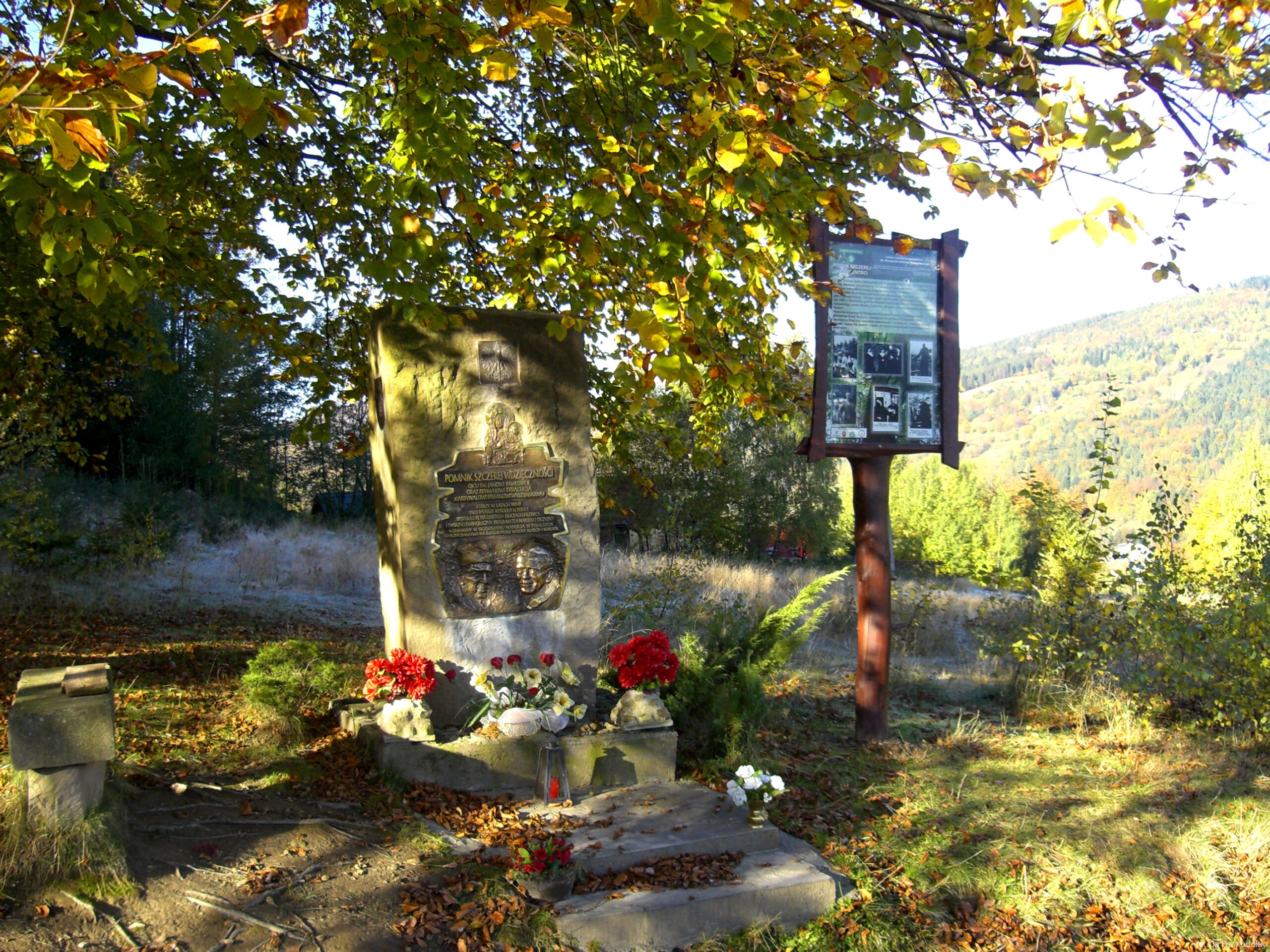
Continuing along the yellow trail signs, we pass a commemorative stone with a plaque dedicated to Cardinal Stefan Wyszyński, who used to visit this area very often, spending his holidays in the convent of the Resurrectionist Sisters in the nearby settlement of Siwcówka, and then we walk along the edge of meadows and later through a forest. After crossing a wide slope road, go up more steeply, passing near the trail a fallen trunk of the mighty spruce „Siłosław”, once the true „king” of the local forests.
Higher we get to the junction of trails near Krawcowa Glade. The yellow trail ends here, but we go further following the blue trail signs and having overcome a steep climb leading through the beech forest, we get to Hala Kubulkowa covering the peak dome of Jałowiec.
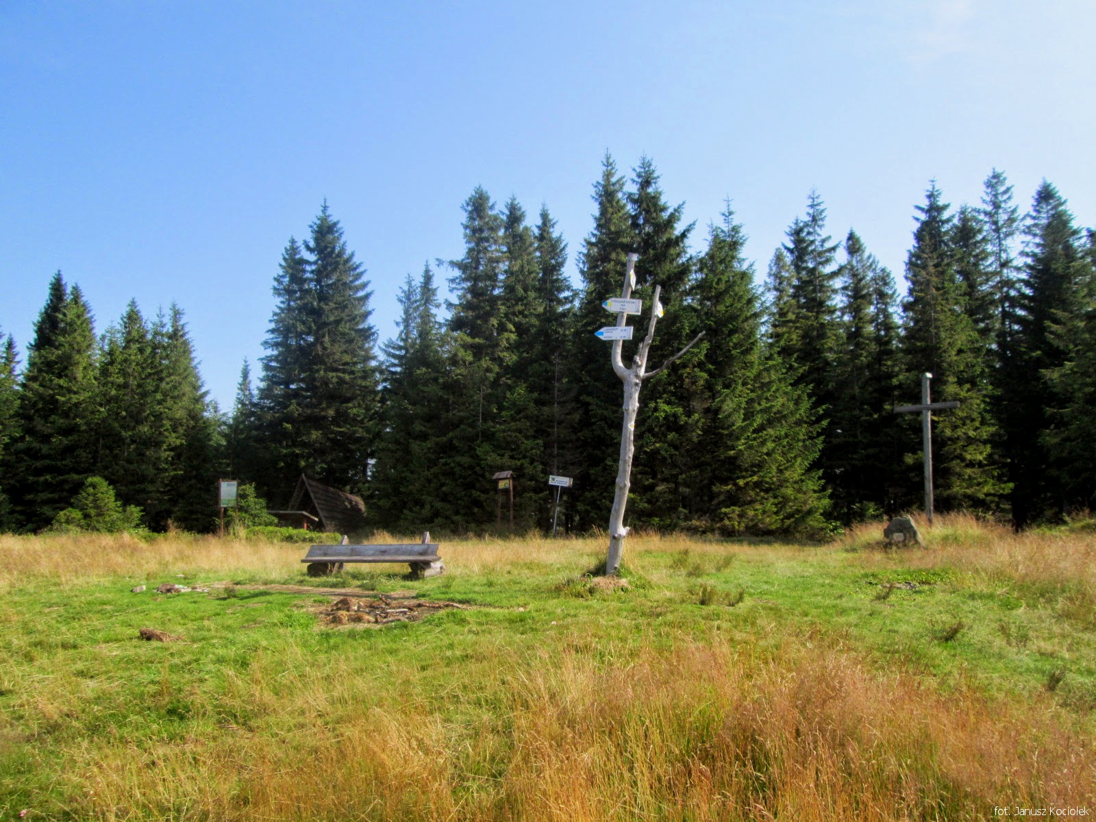
From the top, the route heads east following the yellow trail signs, descending to the edge of the Opaczne Glade, where a little below the ridge, there is a building of the former private hostel „W Murowanej Piwnicy”, where we can rest and have a snack. Then the route continues along a forest road, passing the peak of Kolędówka, after which it crosses meadows and soon it reaches the crossroads of trails on the Kolędówka Pass.
Following the yellow trail signs the route bypasses two peaks of the Solnisko Mountain and next it ascends among groves and clearings and finally through a forest to the scenic peak of the Kiczora Mountain. Now there is a section of a fast and steep descent. The route reaches the Toczki settlement located near the border between Zawoja and Stryszawa. The yellow trail finishes here and we continue straight ahead, following the red trail signs and after a while we reach the Przysłop Pass, where we cross the rather busy road between Stryszawa and Zawoja

Pass, where we cross the rather busy road between Stryszawa and Zawoja
We continue walking between the houses of Granica hamlet, reaching another crossroads and the junction of trails near the building of the former primary school and fire station in the centre of the beautifully located cluster of settlements called Przysłop.
From here we continue along the black, blue and red signs along an asphalt road towards the near peak of Magurka. After a few minutes ascent the route reaches a crossroad, where the red trail signs turn right near a beautiful chapel with a statue of the Virgin Mary with the Infant Jesus, dating back to 1870. It is also the place where the borders of three villages: Zawoja, Stryszawa and Grzechynia meet.

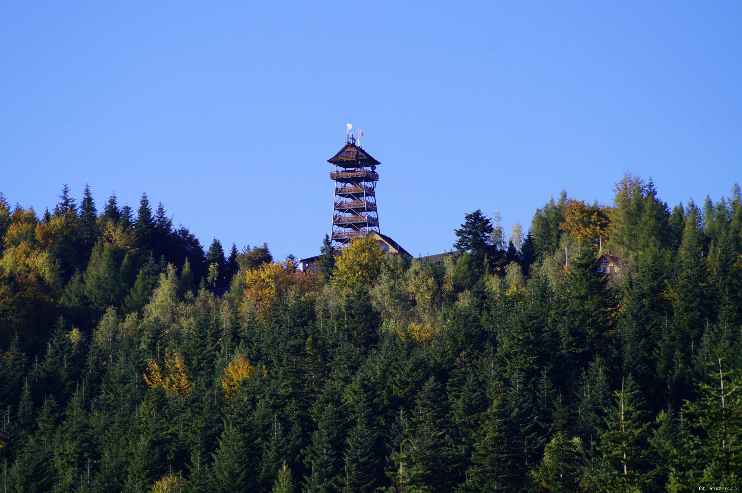
Now, following the black and blue signs, we turn left and ascend between the houses of the Spyrki estate, reaching the passing Przełęcz Zasypnicka Wyższa between Magurka and Surzynówka. Here we leave the blue trail (if we have more free time, it is worthwhile to follow it to the nearby hotel „Beskidzki Raj” and climb a viewing tower) and follow the black trail signs towards the forest boundary below the peak of Magurka.

Not reaching the peak itself, the route turns left and descends through the forest to a charming pass between Magurka and Kamienna, called the Przełęcz Zasypnicka Niższa, above the Kubasiaki housing estate, and from it steeply and quickly descends to the bottom of the Zasypniczanka brook valley. We go further down the stream valley, soon leaving the forest and getting to the first houses of a large cluster of settlements called Zasypnica in Sucha Beskidzka. Now, there is a long, three-kilometre stretch of road descending between more and more dense buildings. Finally, we reach the crossroads with the busy voivodeship road No. 946, where we turn right and after ten minutes of walking along Mickiewicza Street, we reach the railway station in Sucha Beskidzka, where our journey ends.